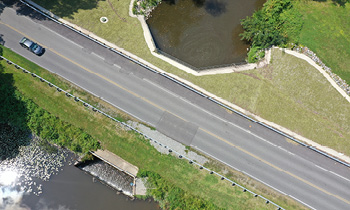
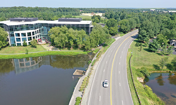
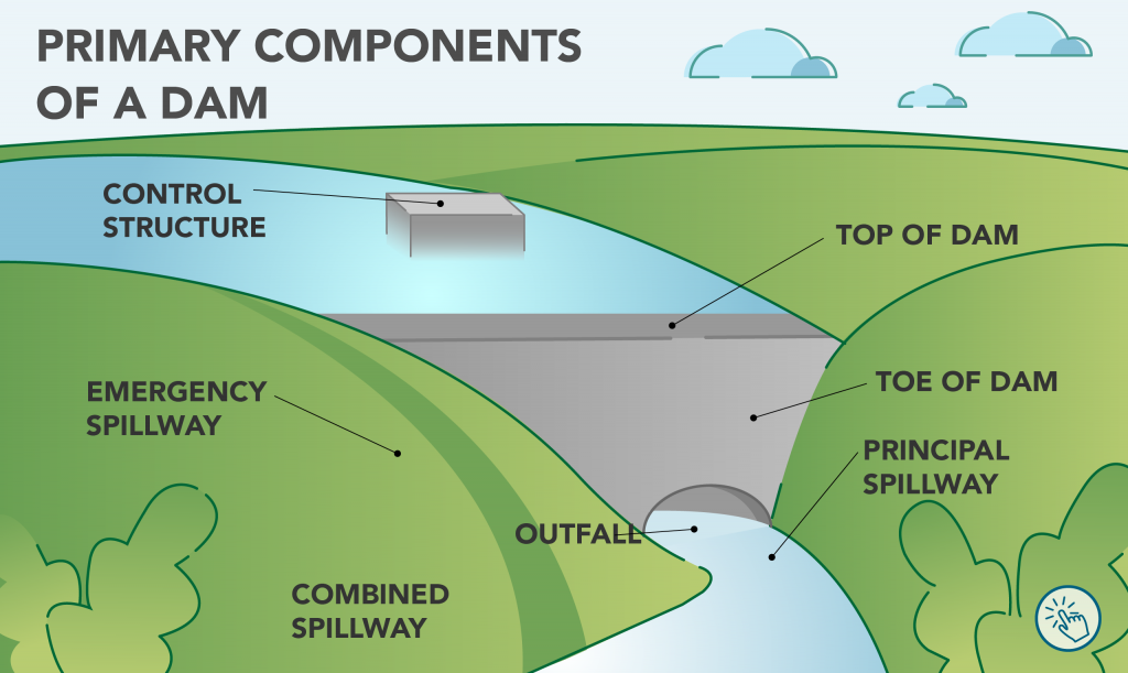
A dam is a barrier that is constructed to confine or control water. Dams provide several valuable benefits, including irrigation, water supply, wildlife habitat, recreation, water supply, and flood reduction systems. However, dams must be properly managed and can be dangerous and cause major flooding if they fail. A Dam Break Inundation Zone (DBIZ) is an area at risk of flooding if a dam was to fail.
Dams in Henrico County
There are more than 30 dams in Henrico, some of which are privately owned, and some are regulated by the state. If you live in a DBIZ or near a dam, the County highly encourages purchasing flood insurance to be prepared and protect your property in the event a dam fails.
Small dams may not appear dangerous but can still pose a risk to people. Low-head dams or “run-of-the-river” dams have circulating currents below the surface that can trap people or objects against the dam. There are several low-head dams in the James River that have caused deaths in the past. It is important to understand the potential dangers of dams and ways to keep yourself and the community safe. While some dams create reservoirs that provide recreational opportunities such as swimming, boating, or kayaking, this is not always the case, and you should check before entering the water. You also should avoid entering dam spillways, as they are not intended for recreational use.
County-Owned Dams
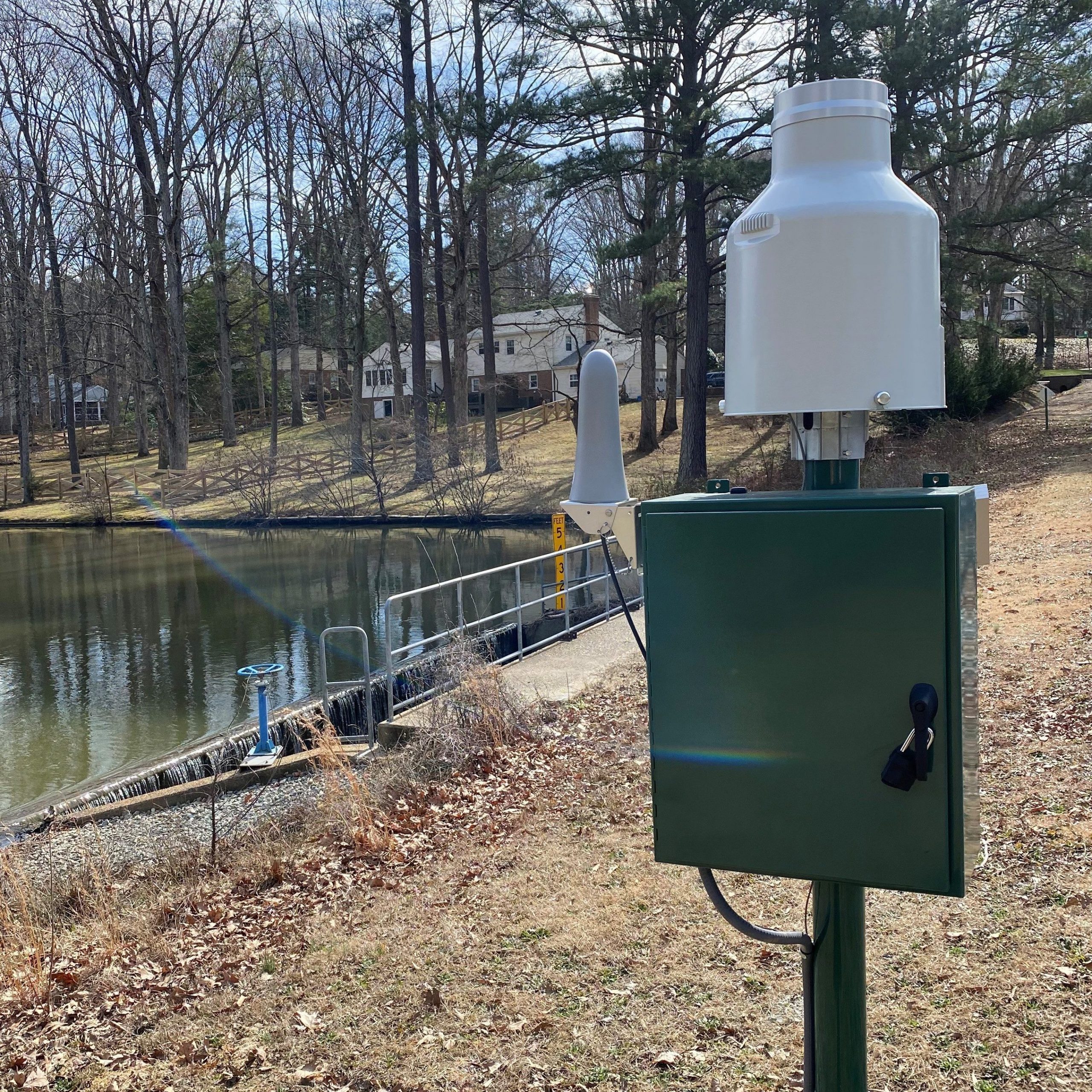
Henrico County owns five dams within the county that are regulated by the state: Canterbury Lake (Pump Rd.), Wellesley Lake (Park Terrace Dr.), Waterfront Lake (Cox Rd.), Wyndham Lake (Dominion Club Dr.) and Echo Lake (Springfield Rd.). The County, in partnership with the United States Geological Survey (USGS) recently installed rain gages at each of these five dams to monitor precipitation and lake levels before, during, and after major rain events. This information allows the County to be better prepared for dam emergencies and aid public safety personnel in implementing a dam’s emergency action plan, if needed.
This data is collected in real time and recorded in five-minute intervals. It can be viewed publicly through the USGS National Water Dashboard website for each gage, which can be accessed using the buttons below. Each website also has an option for users to sign up for text or email alerts for each of the gages by subscribing to USGS’s WaterAlert. For more information, contact the County’s Dam Safety Coordinator.
USGS Rain Gage Data for County-Owned Dams
Do You Live Near a Dam or in a Dam Break Inundation Zone (DBIZ)?
- Open the Dam Safety map in your internet browser.
- Turn layers on or off. DBIZs are not shown by default. In the top right corner, click the button that looks like three squares stacked on one another. Check the box next to VFRIS Dam Break Inundation Zones to turn on this layer. For a simplified view, uncheck the boxes next to the other layers to turn off flood zone information.
- Access the legend. In the top right corner, click the button with three horizontal lines. The legend will show you what the different symbols on the map indicate. DBIZs will appear as colored lines on the map. Dams are shown as light green icons.
- Find your property. Search the address in the top left corner of the map to see if it is in a DBIZ or near a dam.
You can learn more about dams from the Virginia Department of Conservation and Recreation (DCR) or the Association of State Dam Safety Officials (ASDSO).
Dam Regulations for Public Safety
There are more than 30 dams in Henrico County, many of which are regulated by the state. It is necessary for dams to comply with state regulations in order to provide public safety. All dams in Virginia are subject to the Dam Safety Act and Dam Safety Regulations unless a dam is specifically excluded. You can see what dams are excluded from these regulations and learn more about dam regulations through the Virginia DCR.


