Geo Coordinates
37.449866, -77.3751734Description
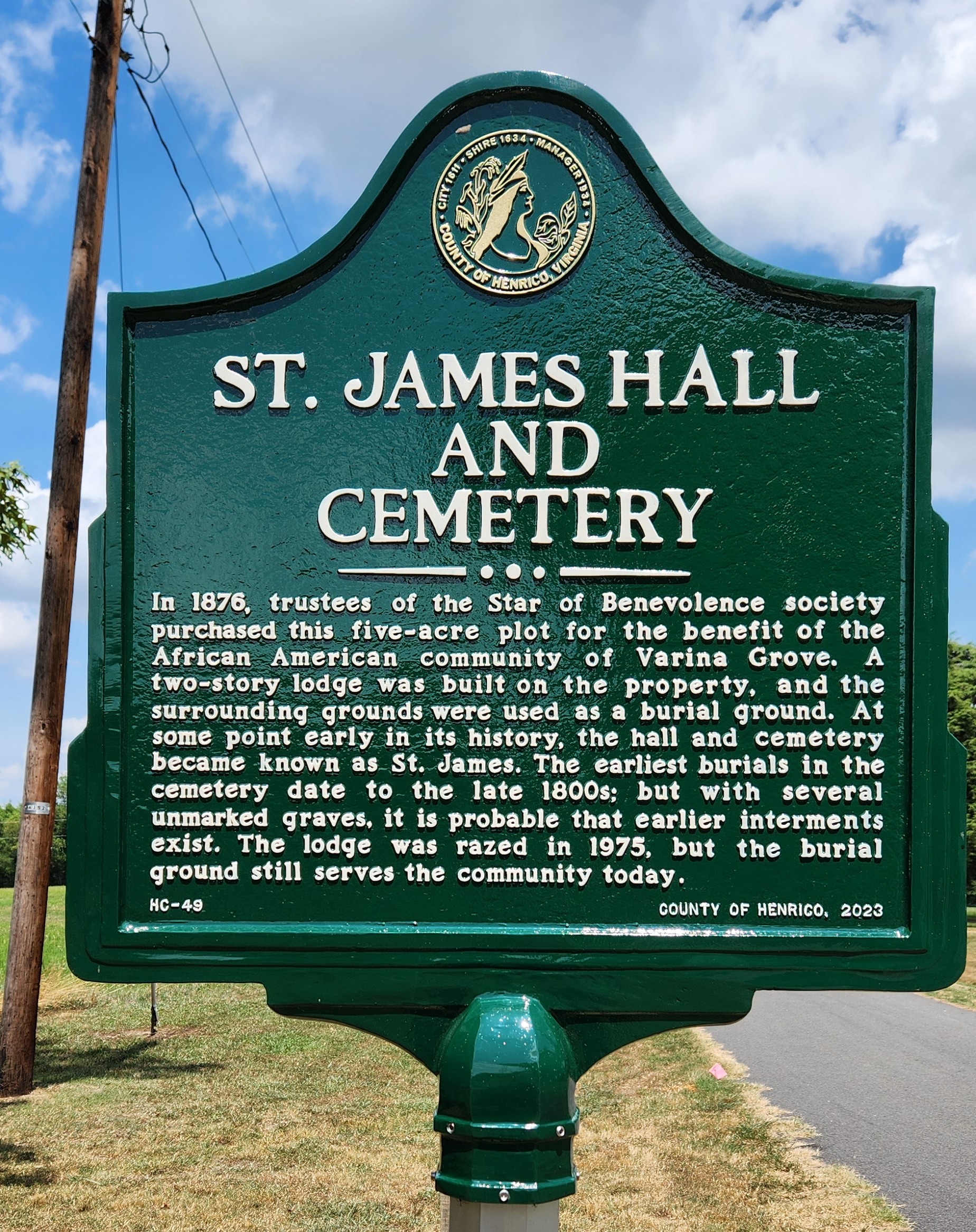
In 1876, trustees of the Star of Benevolence society purchased this five-acre plot for the benefit of the African American community of Varina Grove. A two-story lodge was built on the property, and the surrounding grounds were used as a burial ground. At some point early in its history, the hall and cemetery became known as St. James. The earliest burials in the cemetery date to the late 1800s; but with several unmarked graves, it is probable that earlier interments exist. The lodge was razed in 1975, but the burial ground still serves the community today.


